🎉 Up to 70% Off Selected ItemsShop Sale
HomeStore

A New and Accurate Map of North Carolina in North America, 1779

Product image 1
1 / 6

A New and Accurate Map of North Carolina in North America, 1779

This beautiful antique map reproduction is printed on heavy acid-free stock with fade proof inks and is excellent for framing.

Copyright 1779

Size: 14" × 12"
$39.95
A New and Accurate Map of North Carolina in North America, 1779
$39.95

Product Information

Shipping & Returns

Description

This beautiful antique map reproduction is printed on heavy acid-free stock with fade proof inks and is excellent for framing.

Copyright 1779

Size: 14" × 12"

You may also like

NEW
Thumbnail 1Thumbnail 2

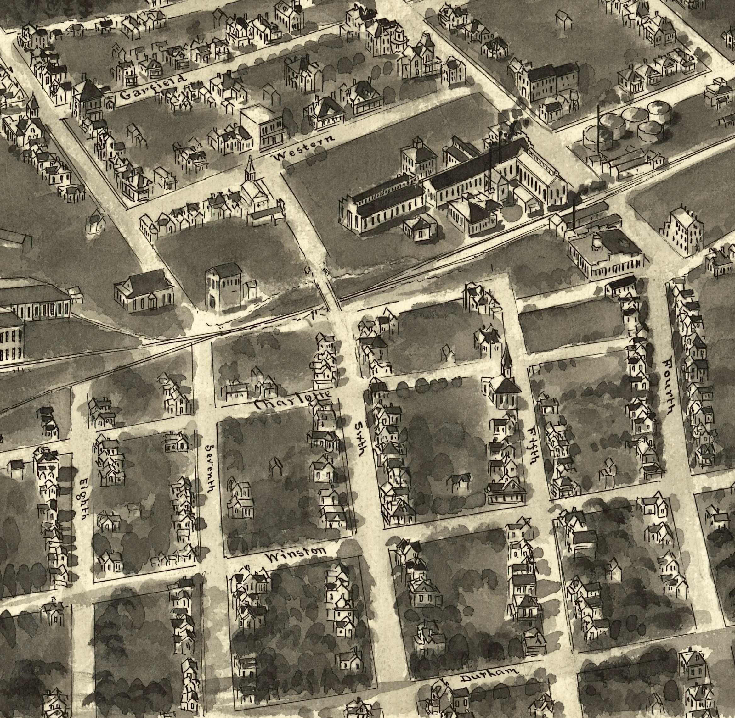
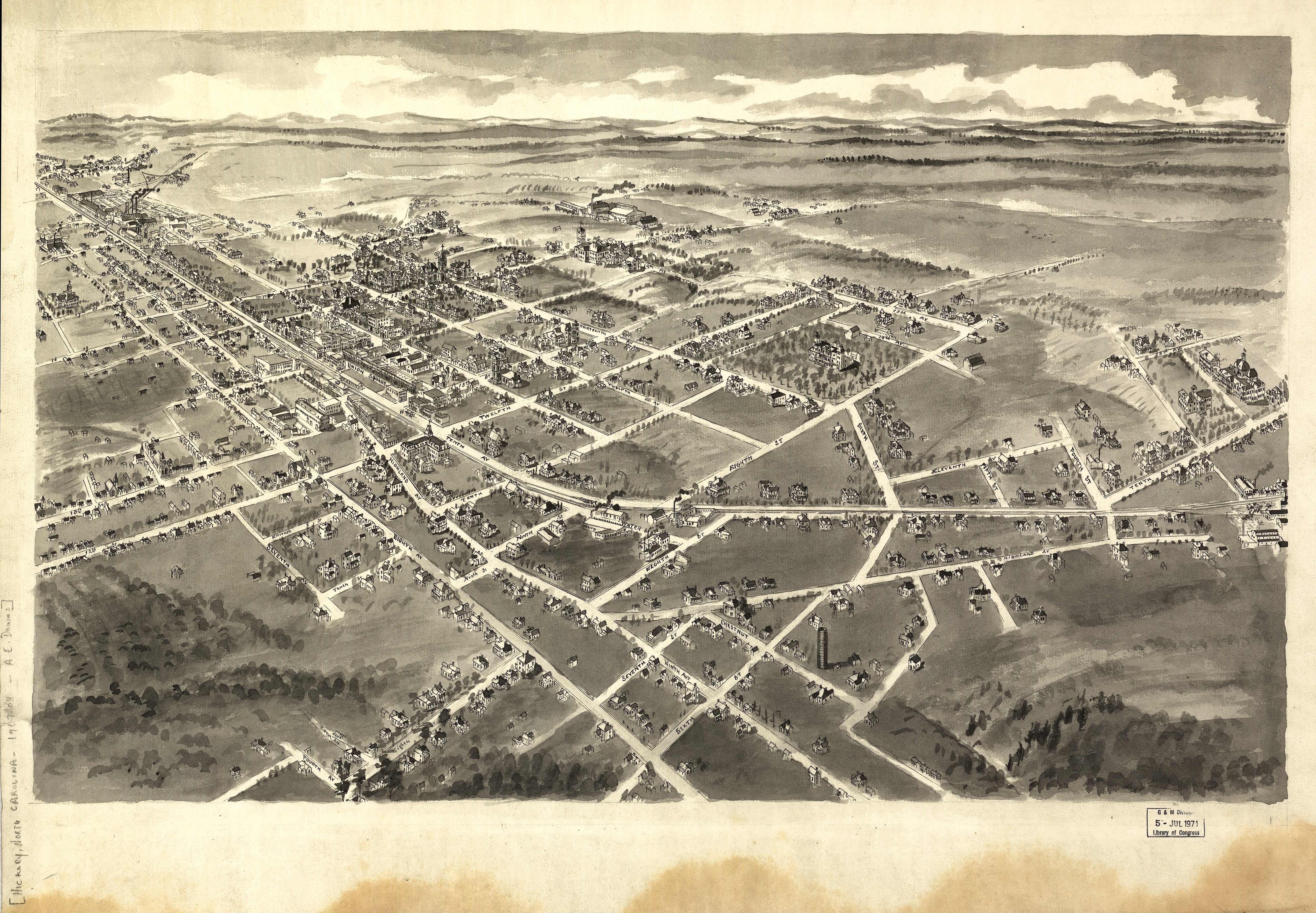
Bird's Eye View of Hickory, North Carolina, 1907

$39.95

NEW
Thumbnail 1Thumbnail 2

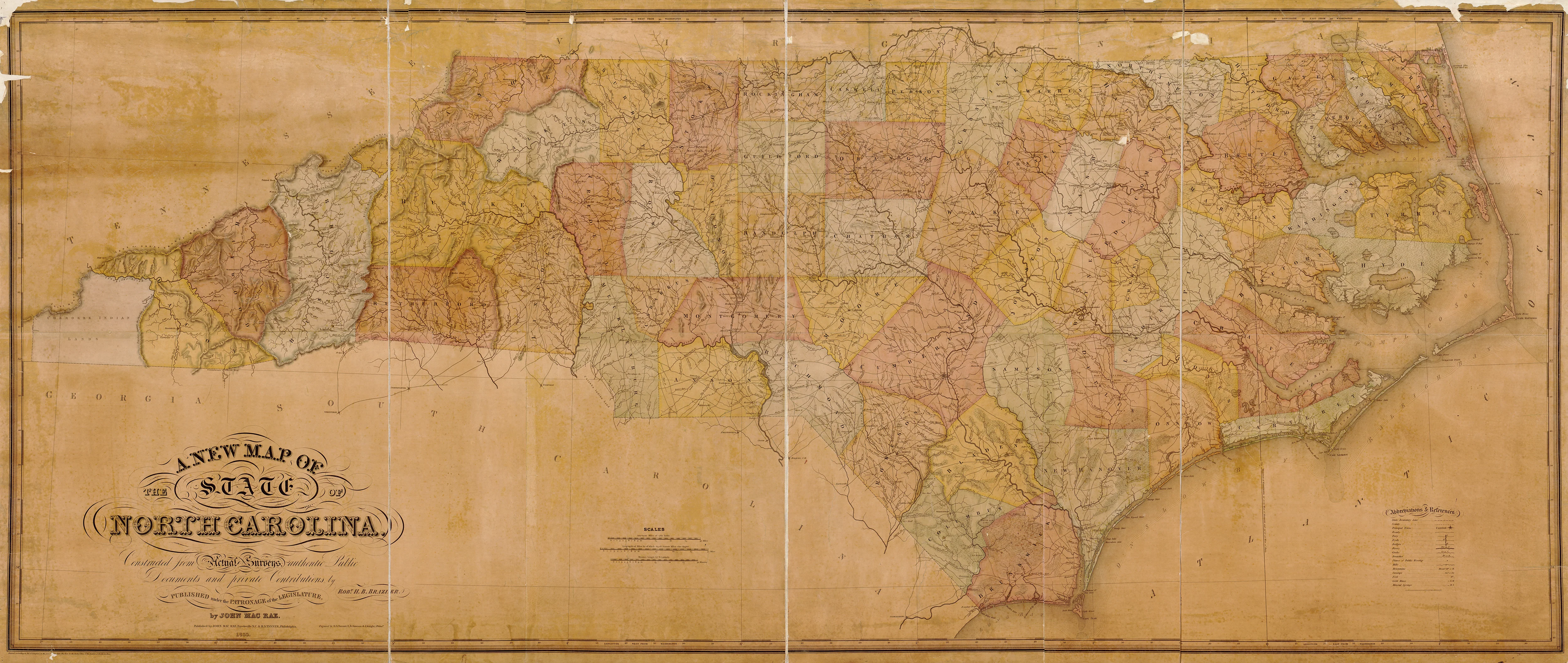
A New Map of the State of North Carolina, 1833

$39.95

-65%NEW
Thumbnail 1Thumbnail 2

Mouths of Roanoke River, North Carolina, 1864

$39.95

$13.98

NEW
Thumbnail 1Thumbnail 2

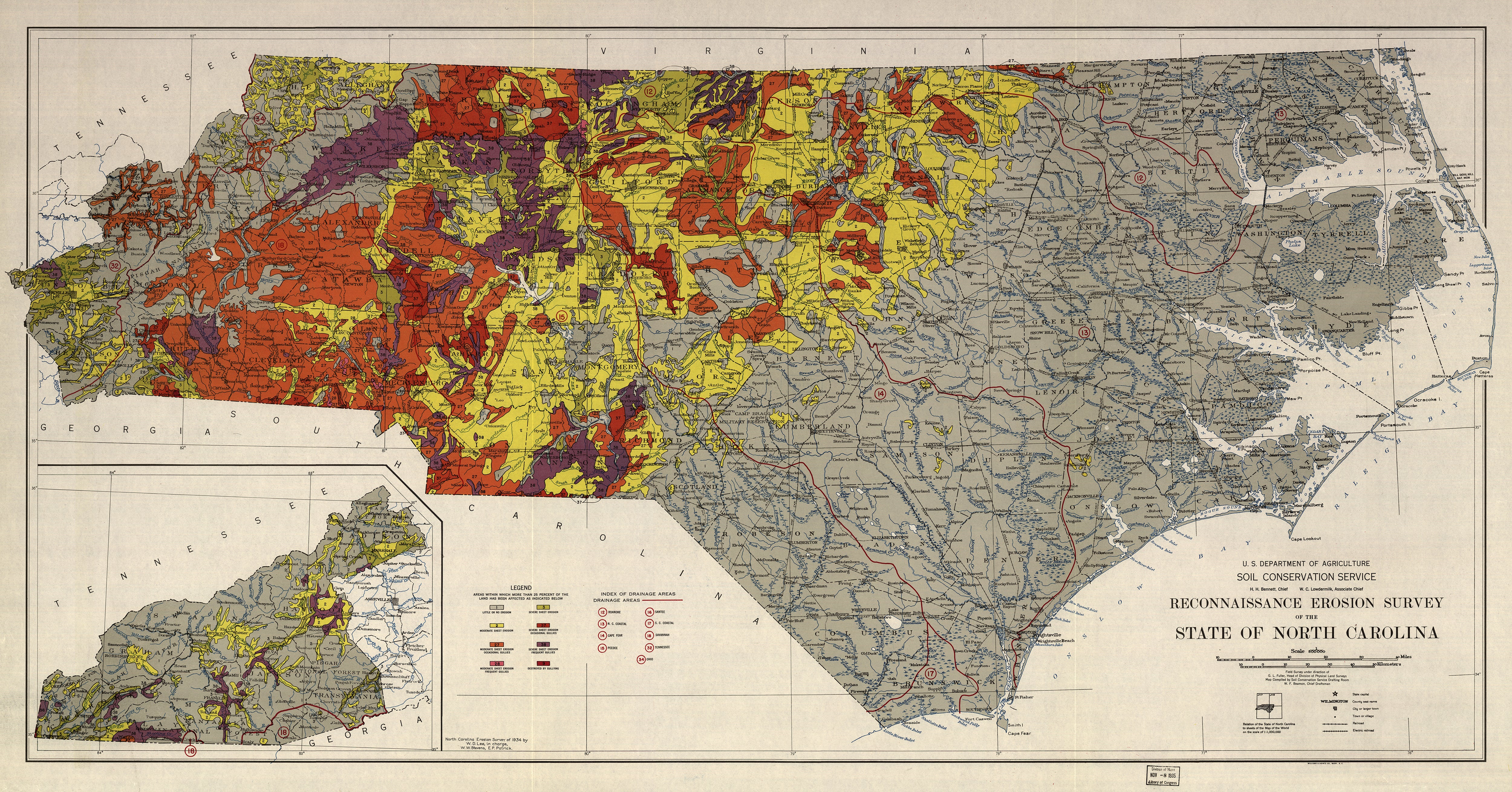
Reconnaissance Erosion Survey of the State of North Carolina, 1934

$39.95

NEW
Thumbnail 1Thumbnail 2

Bird's Eye View of High Point, North Carolina, 1913

$39.95

NEW
Thumbnail 1Thumbnail 2

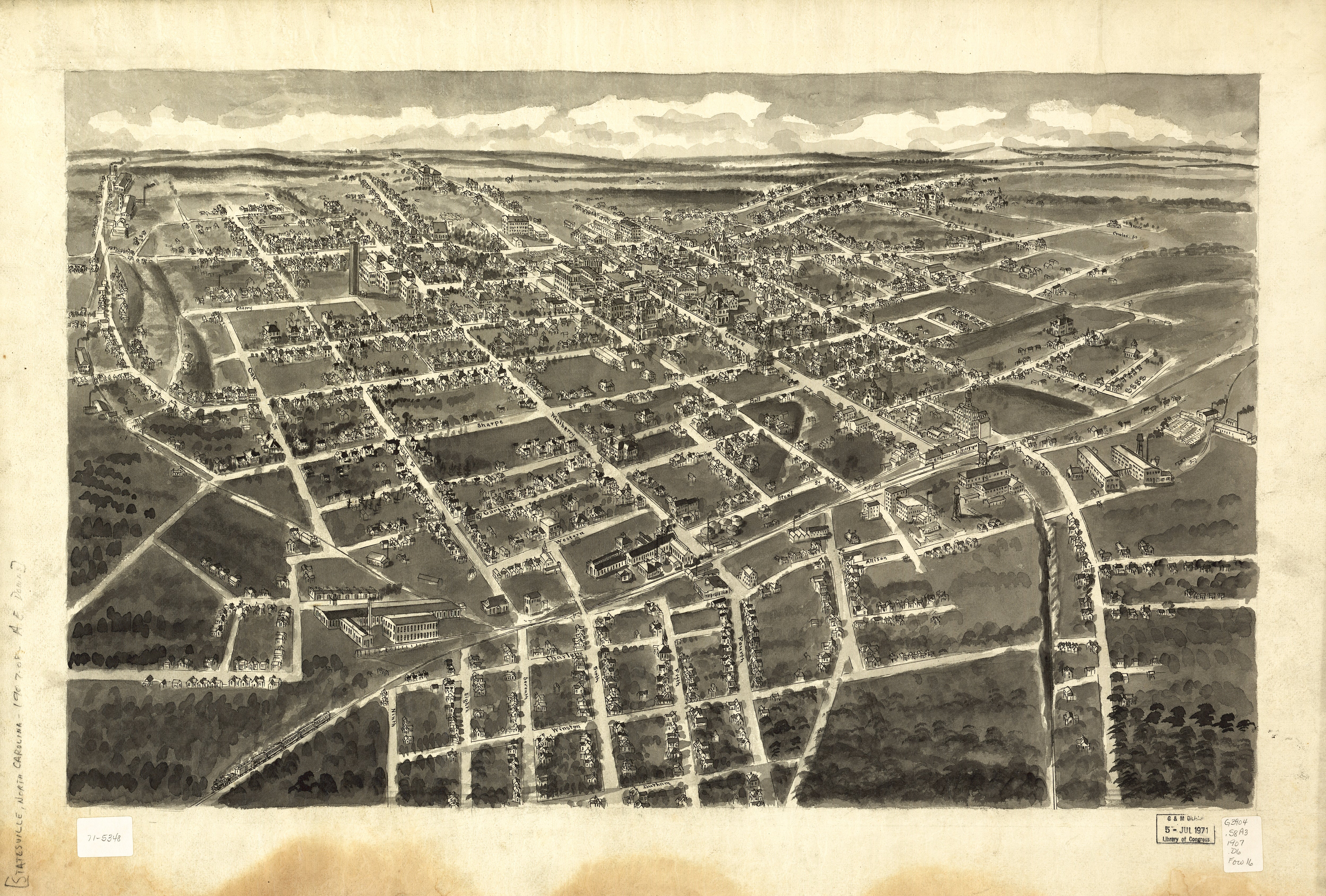
Bird's Eye View of Statesville, North Carolina, 1907

$39.95

NEW
Thumbnail 1Thumbnail 2

Bird's Eye View of Greensboro, North Carolina, 1891

$39.95